Our Kalgan River
|
Vertical Divider
|
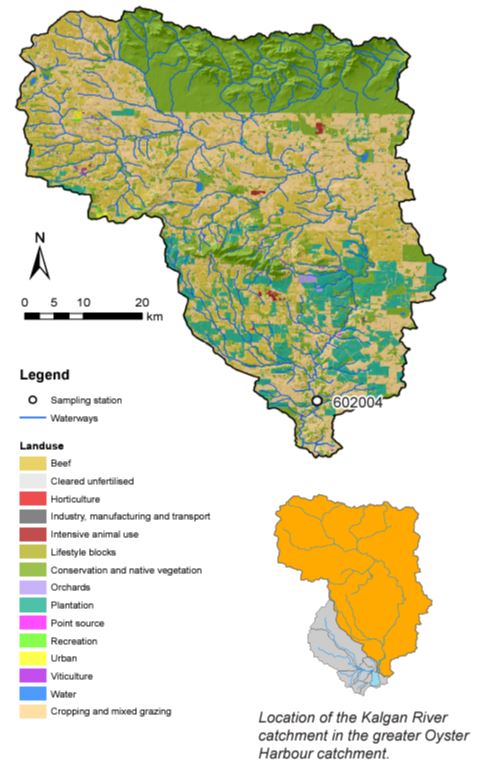
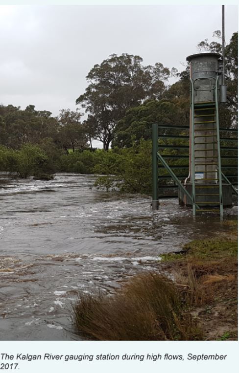
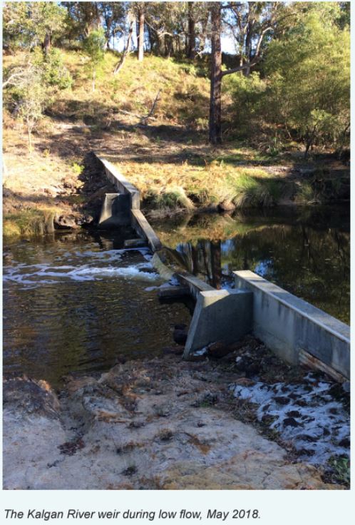
The Kalgan River is approximately 140 kilometres long and, along with the King River, drains into Oyster Harbour. The river starts west of the Stirling Ranges with a catchment area of about 2,490 km2, just over three-quarters of which has been cleared for agriculture and has the biggest water contribution to Oyster Harbour. It is the region’s fourth-largest river in terms of average annual flow (53,400 megalitres), and has the third-largest catchment area.
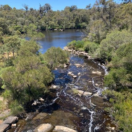
The dominant land uses are cropping and mixed grazing. There are also several bluegum plantations, mostly in the lower half of the catchment. There is also a large area of conservation and native vegetation at the top of the catchment is part of the Stirling Range National Park and the smaller area near the center of the catchment is the Porongurup National Park. Most of the upper reaches of the Kalgan River lie within the National Park. These tributaries are marginally saline to brackish, suggesting the levels of salinity are natural. The loss of catchment vegetation (66% of the catchment is cleared) has increased salinity levels downstream. The lower section of the Kalgan River is tidal; a rockbar at the Upper Kalgan bridge separates the upper section from the tidal lower section. The tributaries of the Kalgan River include Napier Creek, Boonawarrup Creek, Young River, Stony Creek, and Gaalgegup Creek. The river flows through two pools of note: Meriwarbelup Pool and Noorubup Pool. The environmental pressures along this river are very varied and complex to resolve due to the varied land uses and land capacity. |
Since 2008, a total of eight river health assessments have been carried out throughout the Oyster Harbour catchment under the Department of Water and Environmental Regulation’s (the department) ongoing program. This includes targeted assessments during the 2017-20 Regional Estuaries Initiative and Healthy Estuaries WA program to investigate key areas of the catchment that previously had little or no data.
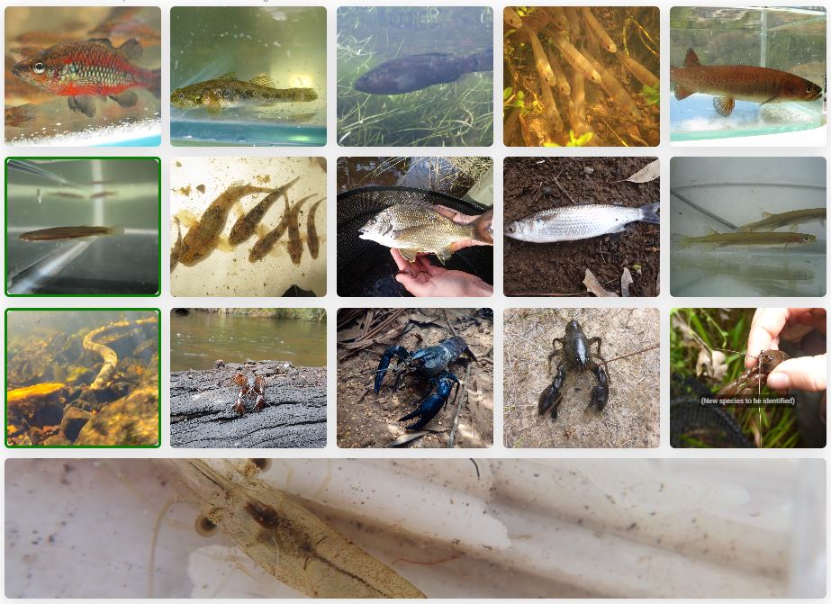
The Oyster Harbour catchment was found to have reasonably high native biodiversity, with 15 species of native fish and crustaceans observed. This included eight species of native freshwater/freshwater-estuarine fish, the pouched lamprey, which migrates from the ocean into the headwaters of rivers to spawn, and four species of freshwater crustaceans (crayfish and shrimp). Ten of these species are endemic to the Southwest of Western Australia (WA), which means that these species are not naturally found anywhere else.
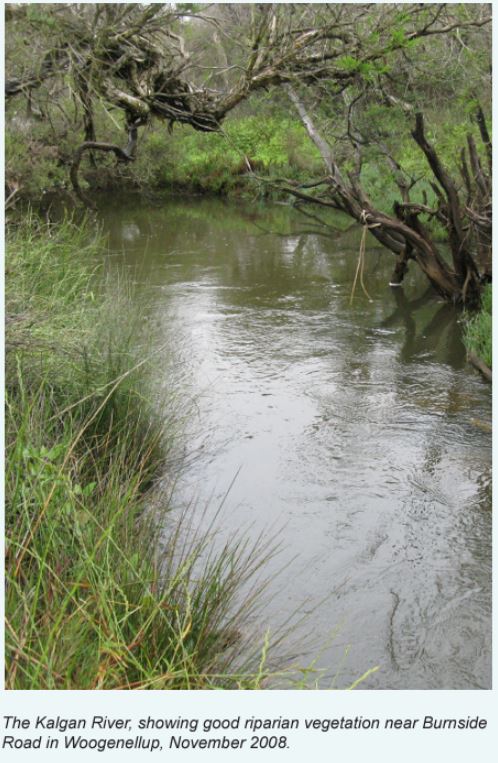
In recent site samples found biodiversity to be in generally good condition, as was the water quality and aquatic habitat. The assessments highlighted important ecosystem values, but also several pressures on the health of the river ecosystems, including:
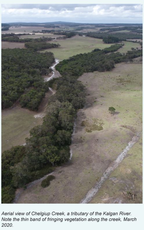
- Historic clearing reflecting urban, cropping and grazing land uses in the catchments. The loss of vegetation, particularly through the stream corridor, is having an impact on water quality and habitat. Issues include:
- Low dissolved oxygen concentrations
- High nutrient and metal loads
- Loss of complex in-stream shelter particularly woody habitat
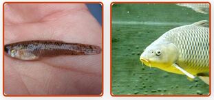
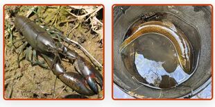
- Presence of exotic fish and crayfish species, which influence native species through competition, predation, and changes to habitat
- Access to rivers by livestock resulting in:
- Erosion, contributing to sedimentation
- Loss and trampling of fringing vegetation
- Potential water quality issues and an increase in nutrients entering the waterway.
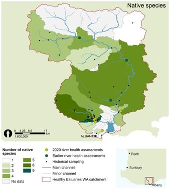
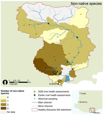
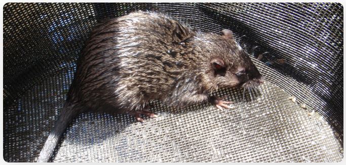
Species richness data from the Oyster Harbour catchment has been collated by subcatchment. Up to nine freshwater and estuarine-freshwater species of fish and crayfish (left) have been found in some subcatchments. In some areas, up to three exotic species have been found (right).
|
Native Species:
Western pygmy perch Blue-spot goby Nightfish Western minnow Trout minnow Western mud minnow- of conservational significance South-west goby Black bream Sea mullet Jollytail Lamprey - of conservational significance Gilgie Smooth marron Koonac Cherax sp. novel (new crayfish species) South-west glass shrimp |
Other Resources
The Kalgan River Nutrient Report 2019
The Condition of the Kalgan River Foreshores 1992/93 published by Albany Waterways Authority, Oyster Harbour Catchment Group Inc and the Department of Agriculture of WA November 1994.
The Kalgan River Nutrient Report 2019
The Condition of the Kalgan River Foreshores 1992/93 published by Albany Waterways Authority, Oyster Harbour Catchment Group Inc and the Department of Agriculture of WA November 1994.
We acknowledge the Minang and Koreng people as the traditional custodians of the land on which we work and live. We pay our respects to the Elders, past, present, and emerging and to the wider Noongar community.
Sponsors and Supporters

